Google's AlphaEarth Redefines How we Map the world with AI
In tests across Europe, AlphaEarth delivered predictions in under 10 days, compared to the 12-month lag of traditional models
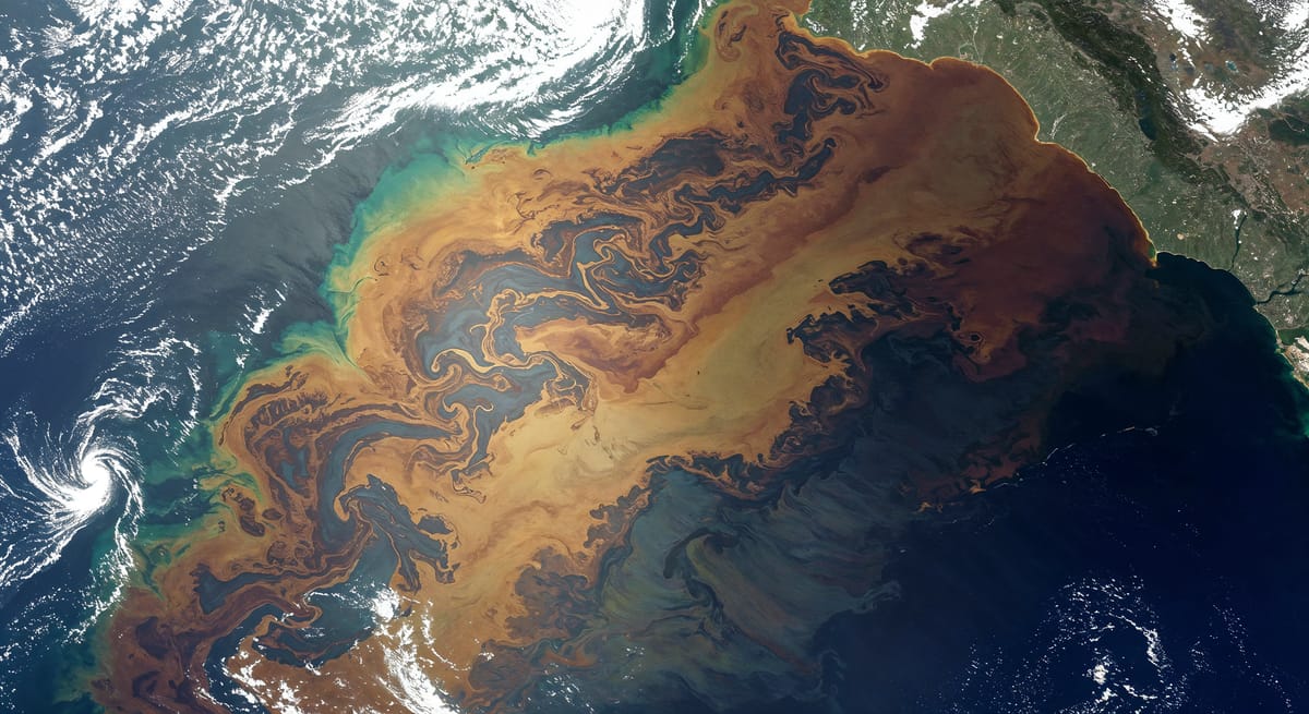
Google DeepMind has introduced AlphaEarth, a powerful AI model designed to map and monitor Earth with unmatched detail and efficiency. The new model, described as a “foundation model for Earth observation,” combines decades of satellite imagery with cutting-edge deep learning to offer faster, more accurate insights into how the planet is changing.
In a blog post, DeepMind said, “AlphaEarth offers a glimpse into a future where planetary intelligence helps us understand our changing world and take informed action to protect it.”
Developed in collaboration with Google Research and Google DeepMind’s Earth Intelligence team, AlphaEarth can process vast amounts of remote sensing data and generate high-resolution land cover maps across continents in just days—a task that previously took months or even years.
AI will help us understand our home - Earth.
— Pushmeet Kohli (@pushmeet) July 30, 2025
🌍Introducing AlphaEarth Foundations - an AI model to see our planet in a whole new way. By integrating public data from satellite images, radar, and more, it creates highly detailed and compact ‘embeddings’ that represent the planet. pic.twitter.com/tvCKZLYjdJ
In tests across Europe, AlphaEarth delivered predictions in under 10 days, compared to the 12-month lag of traditional models. It also set a new benchmark by achieving 81% mean Intersection over Union (mIoU) accuracy for land cover classification in Europe—significantly ahead of existing systems.
Researchers emphasised that the model is still evolving, but its performance marks a leap forward in using AI to address pressing global challenges like climate change, deforestation, and urban development.
“Ultimately, we hope AlphaEarth will enable near real-time land use and ecosystem monitoring, helping researchers and decision-makers take timely and effective action,” the team added.
AlphaEarth builds on the capabilities of AlphaMissense and AlphaFold, further demonstrating DeepMind’s mission to apply general-purpose AI for scientific breakthroughs.